Weather Map-Plotting Chart
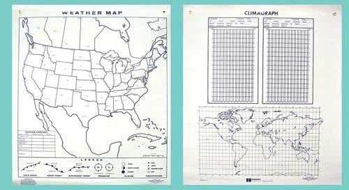
2 activities in 1. New design for use with dry-erase markers, wall-size chart (44" x 50") for integrated study & plotting of weather data. Map on one side locates U.S. reporting cities, includes forecast space & weather symbols. Chart on reverse side combines world map & 2 climagraphs for plotting comparative temperatures & precipitation. Study guide included.
Unit of Sale :Each
Unit of Sale :Each


